create table demand as
select a.postcode, a.telno, a.acctclass, a.premisenumber, a.premiseaddress, a.avgbill, a.acctclass, a.x, a.y, a.demandtype, b.polygonid
from custdata a, demandpolygon b
where (a.the_geom && b.the_geom) and
intersects(a.the_geom,b.the_geom)
order by b.polygonid
The field the_geom is the geometry field of the tables; the operator ' &&' is similar to Oracle's first pass rough filter while intersects is a spatial operator.
One of the problems that I face is the lack of a good graphical user interface for viewing and manipulating spatial data in PostGIS. I have to export data in Shape file format using the PostGIS utility pgsql2shp for viewing in GeoMedia.
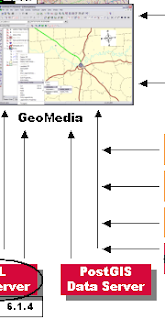
However, I have just seen the Intergraph 2008 GeoMedia Product Updates presentation and I am pleased to see that a PostGIS Data Server will be developed as part of a minor release of GeoMedia 6.1. It is not known whether it will be a Read only or Read/Write data server. Let's hope it is R/W. Here is a crop of a slide below:


I hear ArcGIS + zigGIS is a good solution. OK, yeah, so this is shameless self-promotion. :)
ReplyDelete