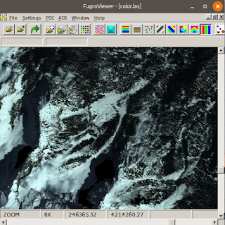
To use PDAL to perform the conversion, follow the following steps.
- In Windows, open up an OSGeo4W Shell.

- In the command prompt, change directory to the folder containing the LAS file e.g. D:\Temp\data\.
- Use a text editor to create a PDAL pipeline JSON file, e.g. las2xyz.json, with the following contents.
{
  "pipeline":[
    {
      "type":"readers.las",
      "filename":"color.las"
    },
    {
      "type":"writers.text",
      "format":"csv",
      "order":"X,Y,Z,RED:0,GREEN:0,BLUE:0",
      "keep_unspecified":"false",
   "quote_header": "false",
   "delimiter": " ",
      "filename":"outputfile.xyz"
    }
  ]
}
where color.las is the name of the input LAS file
and outputfile.xyz is obviously the name of the output XYZ file. - In the command prompt, type in the following command to perform the conversion.
D:\> pdal pipeline las2xyz.json
- Press Enter.
The X, Y, Z, R, G, B values of the LAS file are exported out into the text Point Cloud XYZ file.
