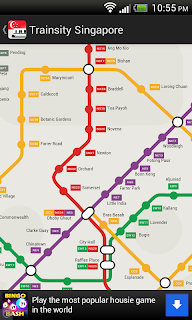
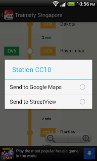
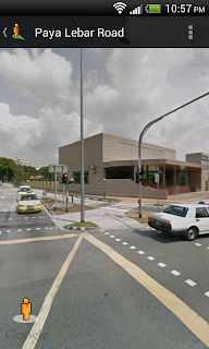
 This is an Android app that simply displays the Singapore MRT and LRT train network maps. The maps are high resolution vector files instead of raster images; the file sizes are small and you can zoom closer without having the details becoming blurred or "pixelated", like bitmap images. The maps also have some interactivity coded in - when the train station labels are touched (or clicked), an option menu will pop up. Users can then choose to send the station location to the Google Maps or the Google Street View apps, where they can visualize the surroundings and/or perform directions routing.
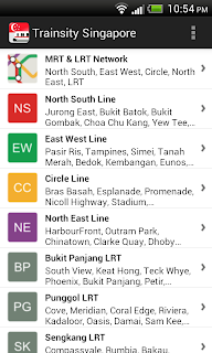
The following screenshots show how the app behaves on a mobile handset.
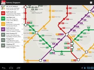
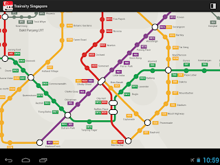
On tablets, the app will automatically configure itself as a two pane display, as shown below. An ActionBar toggle button can be used to toggle the map display from two pane to full screen.
The app can be download from the Google Play Store.


No comments:
Post a Comment