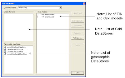
How was I to know that you have to select a Geomorphic data store or a grid data store label and drag the item and drop it on one of the labels: Grid Terrain model or TIN terrain model? Only after reading the online document Working with GeoMedia Terrain that I learn about how to do it. Intergraph need to redesign this dialog box for better user interaction.

No comments:
Post a Comment