I wanted to merge two polygon geometries in a
SpatiaLite database (an example is the land feature layer shown in the screenshot below) into a single geometry using
QGIS.
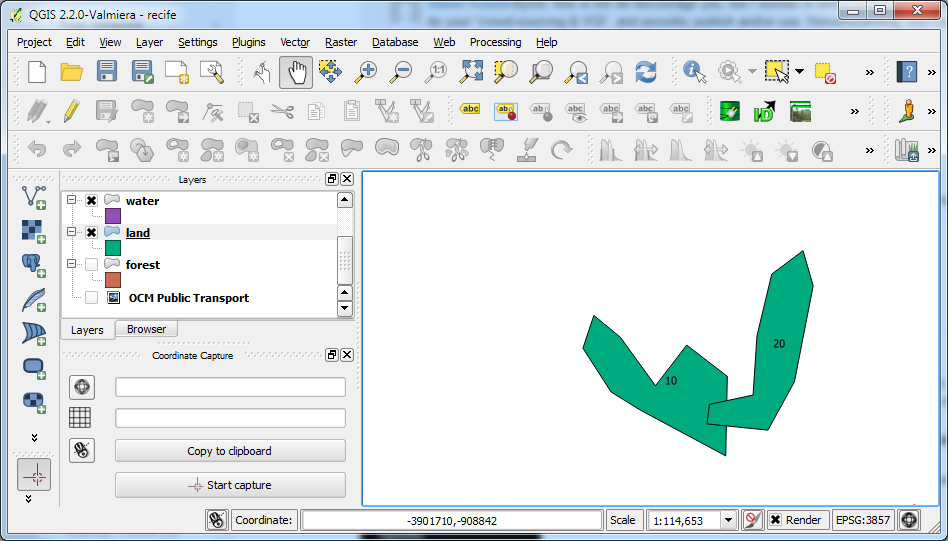 |
| Two SpatiaLite polygons labelled with the primary key id number. |
In
QGIS, the usual command to perform this task is the
Union command, but unfortunately it creates only Shapefiles. The alternative is to use the
QSpatiaLite plug-in and run some SQL commands to do the job. The following steps show how to merge two polygons into one polygon using the SpatiaLite
GUnion operator.
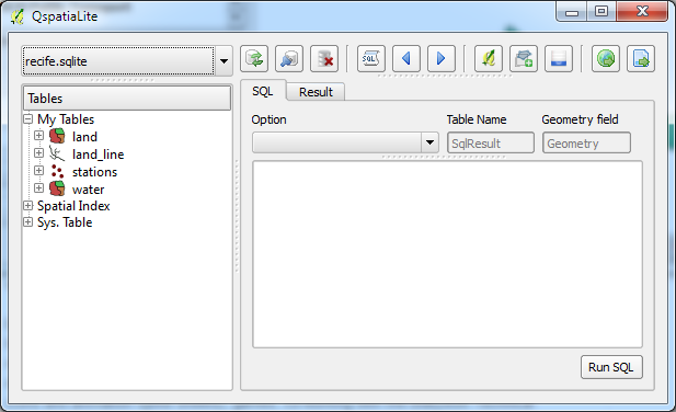
- In QGIS, select Database | SpatiaLite | QSpatiaLite.
The QSpatiaLite dialog box appears.
- Note down the primary key numbers or any suitable identifier of the polygons to be merged, e.g. pkuid 10 and 20.
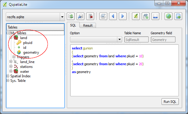
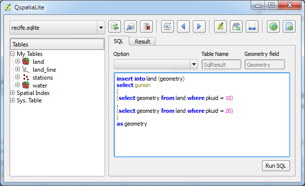
- In the SQL tab field, type in the SQL command.
SELECT GUNION
(
(SELECT geometry FROM land WHERE pkuid = 10)
,
(SELECT geometry FROM land WHERE pkuid = 20)
)
AS geometry
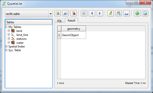
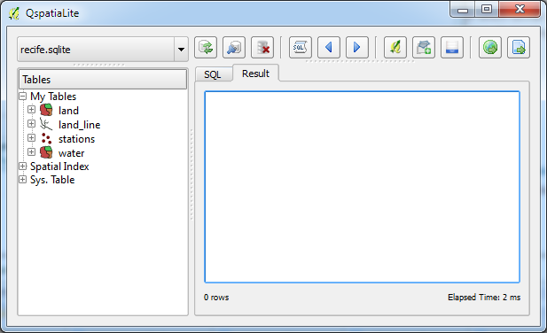
- Click Run SQL.
A temporary new geometry object is created.
Note: if the above SQL command execution is successful, then it is fine to proceed to create a new merged polygon feature and delete the original two polygons.
- In the SQL tab, type in the following SQL command to create and insert a merged polygon feature record.
INSERT INTO land (geometry)
SELECT GUNION
(
(SELECT geometry FROM land WHERE pkuid = 10)
,
(SELECT geometry FROM land WHERE pkuid = 20)
)
AS geometry
- Click Run SQL.
A new row is inserted into the land table.
- In the SQL tab, type in the SQL command to delete the original two polygon features.
DELETE FROM land WHERE pkuid = 10 OR pkuid = 20
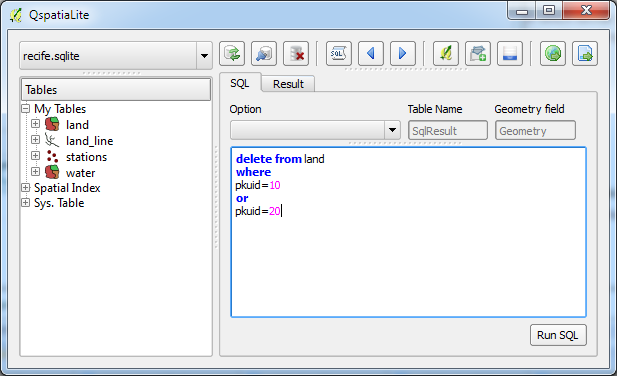
- Click Run SQL.
The original polygon features are deleted.
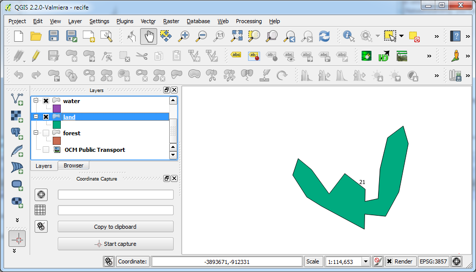
- Refresh the map view by toggling the land feature display off and on.
The merged polygon is displayed.


No comments:
Post a Comment