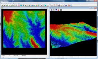
The ClipData utility from the open source Fusion software can be used to normalise a LiDAR point cloud. The following steps illustrate how to normalise a point cloud.
- In a Command Prompt, type in the following to convert a digital terrain model DTM from ESRI Ascii ArcGrid to Fusion's DTM format, using the ASCII2DTM.exe utility.
C:\> ascii2dtm.exe output.dtm m m 0 0 0 0 input_dem.asc
An example run is shown below.
- At the prompt, type in the following.
C:\> clipdata.exe /height /dtm:dakota_dem.dtm dakota.las output.las 606034 4889354 607400 4890580
Note:
/height tells the utility to normalise the point cloud
/dtm:dakota_dem.dtm specifies the input digital terrain in Fusion's DTM format.
dakota.las is the input las file
606034 is the minimum bounding x value
4889354 is the minimum bounding y value
607400 is the maximum bounding x value
4890580 is the maximum bounding y value
An example run is shown below:
A screenshot showing the normalised point cloud. Notice the point cloud no longer undulates with the terrain.

No comments:
Post a Comment