Showing posts with label Brazil. Show all posts

Monday, June 30, 2014

Trainsity Fortaleza Metro Android App

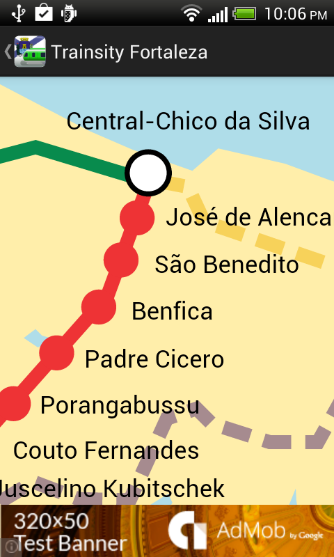
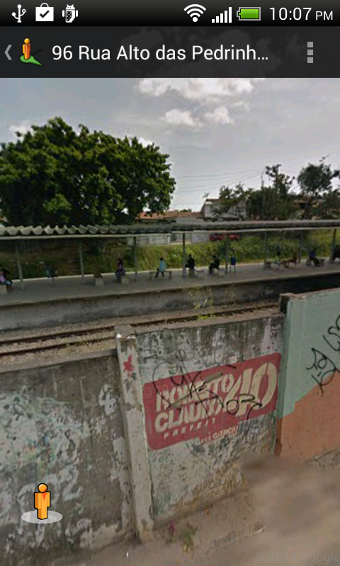
Find your way around the city of Fortaleza, Brazil using the high resolution vector maps of the MetroFor's West and South Lines. The maps have small file sizes and they can be zoomed in many times without becoming blur or blocky, and they can be displayed without an Internet connection. Users can tap the train station labels to open Google Maps or Street View, where they can use all the functions of the Google apps to visualize the surrounding area and/or perform routing for directions.

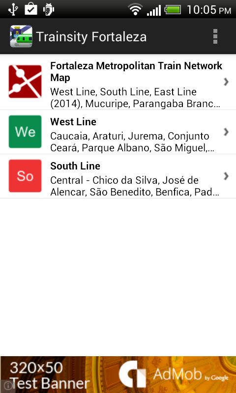
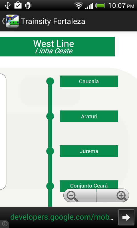
On a mobile handset, the app will display a list of train lines, which when tapped will open up a detail view of the metro transit map, as shown below.

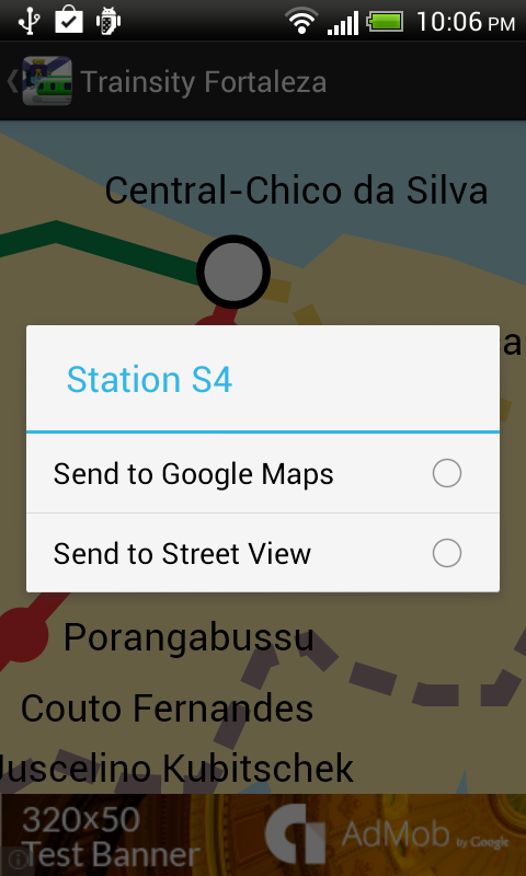
Tapping the station boxes will bring up an option menu where users can choose to display the station in Google Maps or Street View.
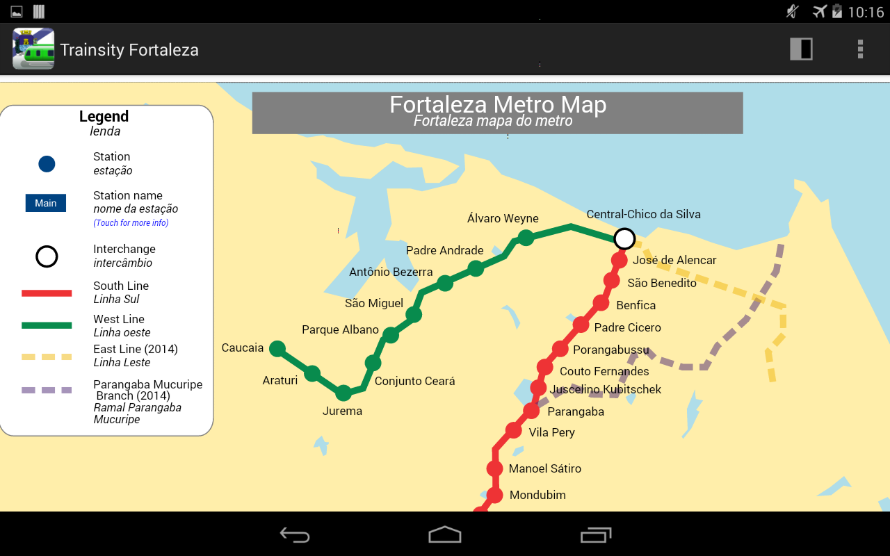
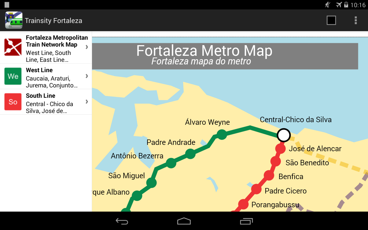
The app is also optimized for tablet devices. The layout on a tablet will show both the list and the vector map at the same time, as shown below.


Users can toggle the map to full screen by tapping the action bar icon at the top right.

The app is available on the Google Play Store. Just click the button below.
Get it on Google Play

Monday, June 16, 2014

Trainsity Rio de Janeiro Metro Android App


This is another Android App inspired by the on-going FIFA World Cup 2014 in Brazil. Using this, find the way around the city of Rio de Janeiro using the high resolution vector maps of the MetroRio's Orange Line 1Green Line 2 and the Subway Bus lines. The maps have small file sizes but high resolution which will not become "blocky" pixels when zoomed in. They can be viewed offline without an Internet connection. Users can tap the train station labels to open Google Maps or Street View, where they can use all the functions of the Google apps to visualize the surrounding area and/or perform routing for directions.

On a mobile handset, the app will display a list of train lines, which when tapped will open up a detail view of the metro transit map, as shown below. 
Tapping the station boxes will bring up an option menu where users can choose to display the station in Google Maps or Street View.
The app is also optimized for tablet devices. The layout on a table will display both the list and the vector map at the same time, as shown below.
Users can toggle the map to full screen mode by tapping the action bar icon at the top right corner.
The app is available on the Google Play Store. Just click the button below.
Get it on Google Play

Monday, June 2, 2014

Trainsity Brasilia Android App

This app was created just in time for the FIFA World Cup 2014 in Brazil. Use this to find your way around the city of Brasilia using the high resolution vector maps of the metro Green and Orange Lines. The vector maps have small file sizes and can be zoomed in many times without any appearance of pixels, unlike raster based maps. The maps can also be viewed offline without any Internet connection. The station labels on the maps can be tapped to open up either the Google Maps or Street View apps - in which users can further visualize the surrounding  area and perform direction queries.

On a mobile handset, users will initially see a list of train maps. When a line is tapped, the detail map view of the metro line will appear, as shown below.

Tapping the station labels/boxes will bring up an option menu where users can choose to display the station in Google Maps or Street View.
On a tablet device, both the list and the map are displayed at the same time, as shown below.

Users can toggle the map to full screen mode by tapping the action bar icon at the top right corner.


You can download this app from the Google Play Store by clicking the badge below.
Get it on Google Play

Monday, May 19, 2014

Trainsity Recife Metro Android App

Find your way around the FIFA World Cup 2014 city of Recife, Brazil using the high resolution vector maps of the MetroRec's Center 1, Center 2, South and Diesel Train Lines. The maps have small file size footprints but with many levels of zoom and can work offline without an Internet connection. Users can tap the train station labels to open Google Maps or Street View, where they can use all the functions of the Google apps to visualize the surrounding area and/or perform routing for directions.

On a mobile handset, the app will display a list of train lines, which when tapped will open up a detail view of the metro transit map, as shown below.

Tapping the station boxes will bring up an option menu where users can choose to display the station in Google Maps or Street View.

The app is also optimized for tablet devices. The layout on a tablet will display both the list and the vector map at the same time, as shown below.
Users can toggle the map to full screen mode by tapping the action bar icon at the top.

The app is available on the Google Play Store. Just click the button below.

Get it on Google Play